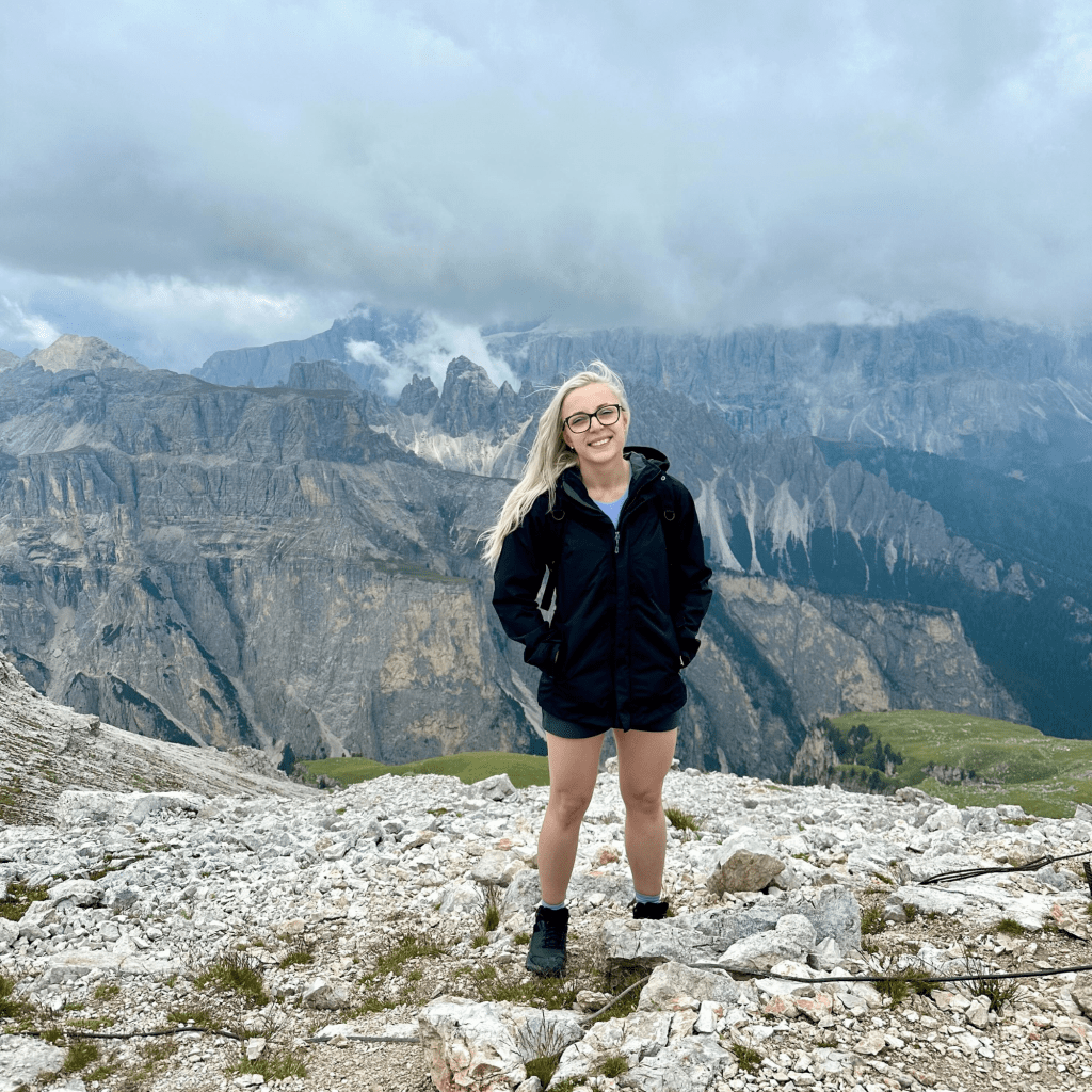


We did this hike during our holiday in Northern Italy in August 2023. Our plan was to spend a few days in the Dolomites area, followed by a few days around Lake Garda. It was my first time in the Dolomites, so it was really, really hard to choose just one place and one hike, but realistically, we only had time for one.
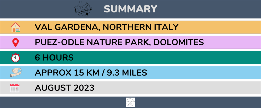
Accommodation
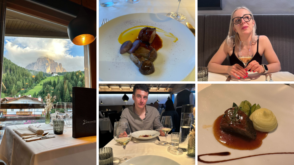
After a lot of research, I found an interesting and relatively challenging hike on the Moon Honey Travel website and we settled on that. For easy access to the start of the hike, we decided to stay in Selva di Val Gardena, a beautiful valley surrounded by dramatic mountain views. We found a good deal for two nights at the Arthotel Anterleghes and stayed there (bear in mind, this was during the week, so it was much quieter). The hotel was really nice, with an outdoor jacuzzi overlooking the mountains and a delicious five-course dinner each night.
Starting the hike
We started the hike from Col Raiser Gondola Station, where we bought a round-trip ticket. Once at the top, we began walking towards Rifugio Firenze, where you can grab some food and drinks. The weather was relatively warm but cloudy. We continued on the path for a while, maybe an hour or so, and then the steep ascent began. It’s a very steep climb and looks rather intimidating as you approach it.
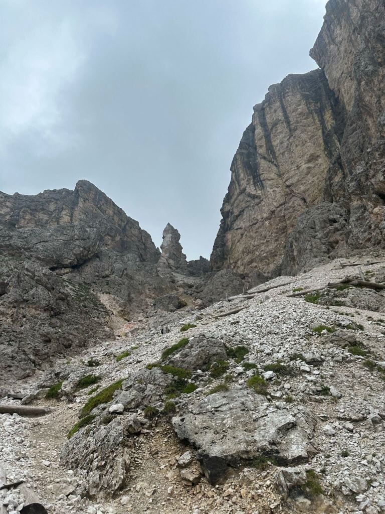
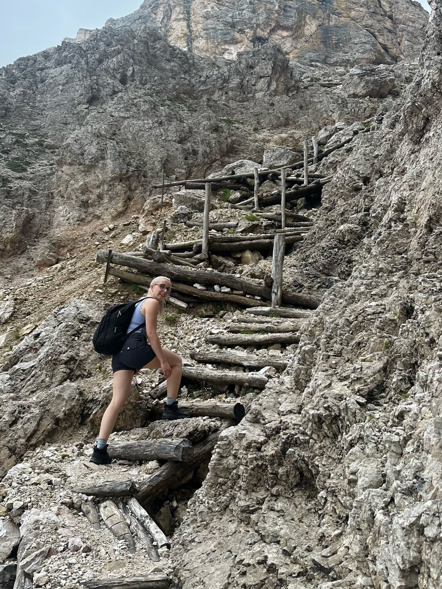
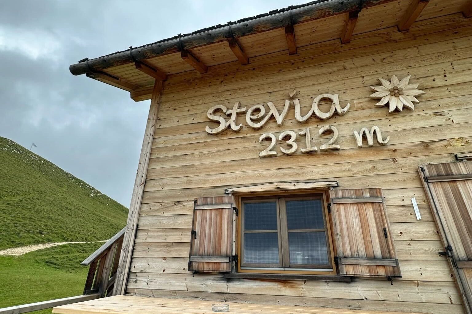
But once you reach the top, the views make it all worth it. When we first arrived at the top, it was so cloudy that we couldn’t see anything. We had a choice: take a detour to Rifugio Stevia for a drink and a snack before returning along the same route to continue our hike to Col dala Pieres peak, or go straight to the peak.
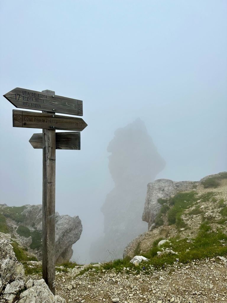
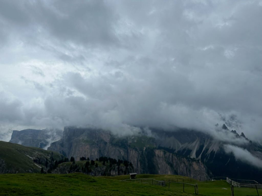
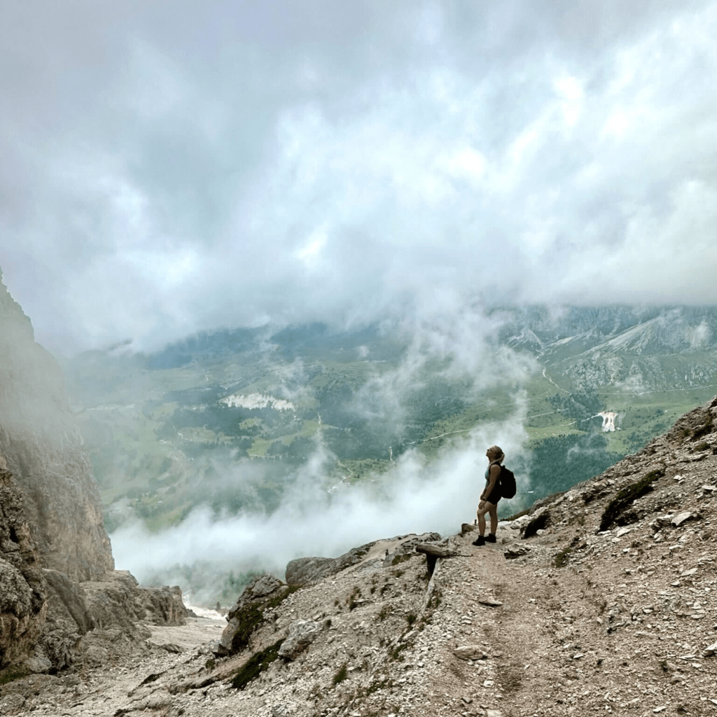
We decided on the former, and the detour to the rifugio offered us some truly picturesque mountain views, where we just had to stop and admire them.
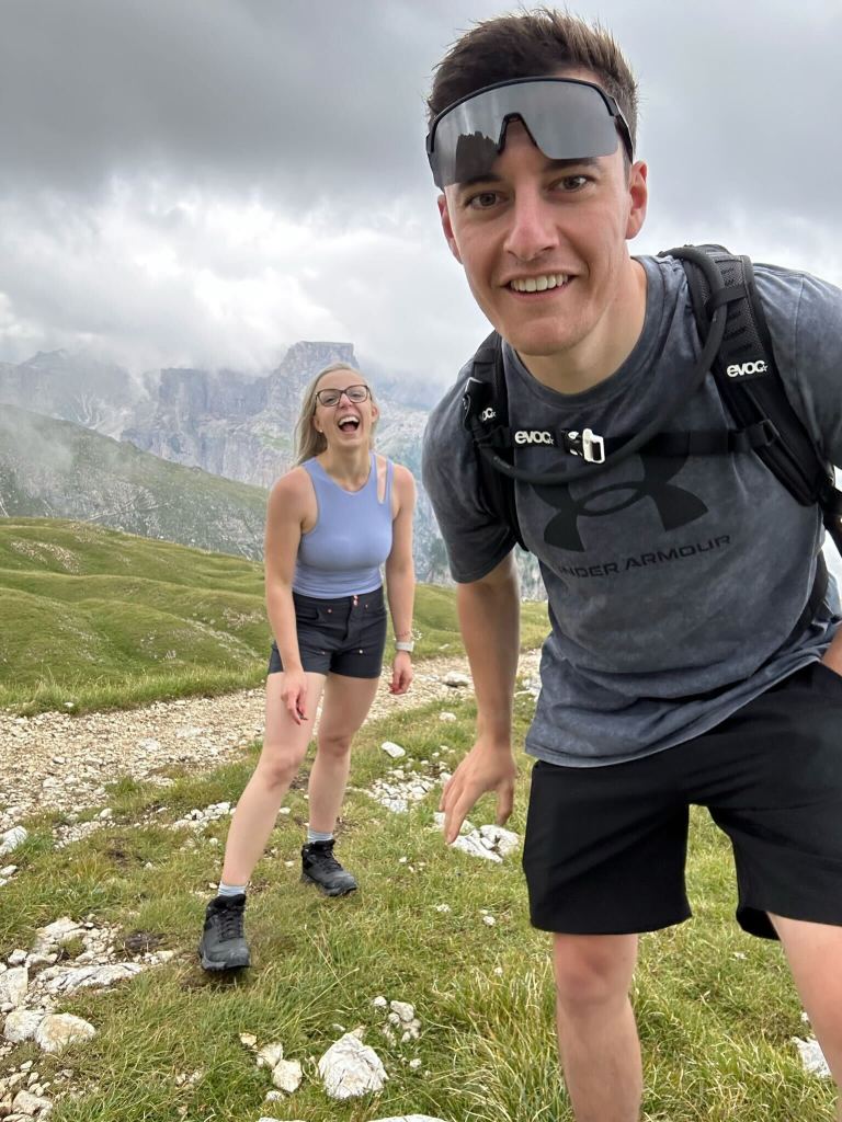
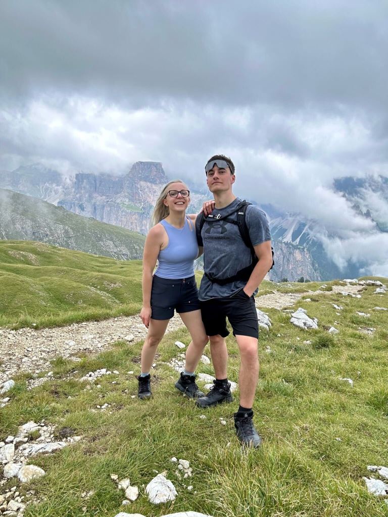
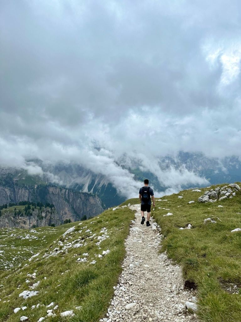
We eventually returned to our original path and continued to Col dala Pieres. From there, the path became rocky, steep, and full of scree. The clouds were very low, so visibility was almost non-existent, which was a shame considering how beautiful that area looks on a clear day. But it’s okay; we will be back one day! It was all part of its charm that day!
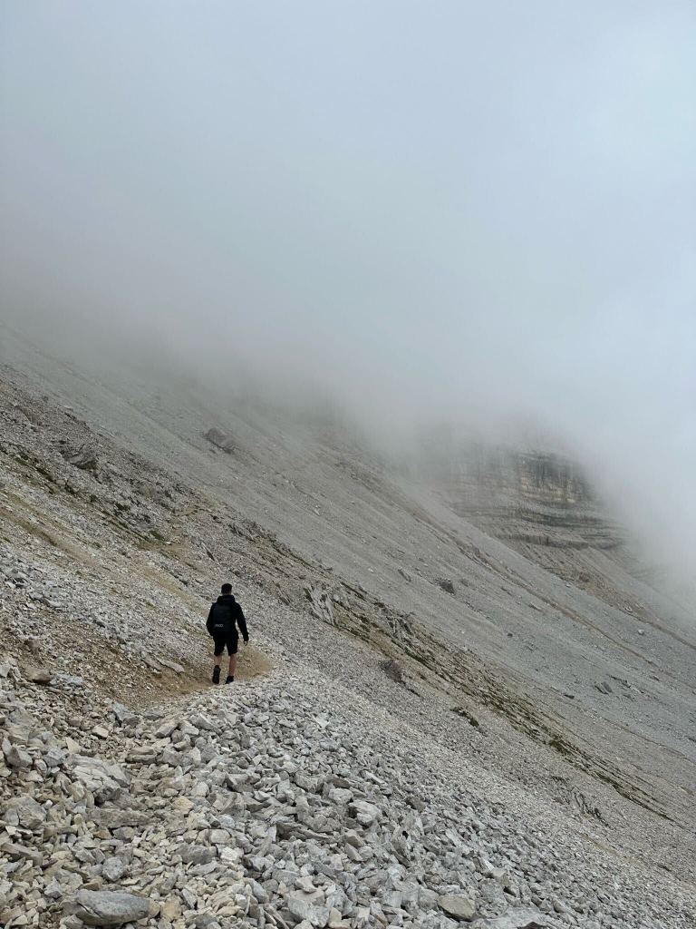
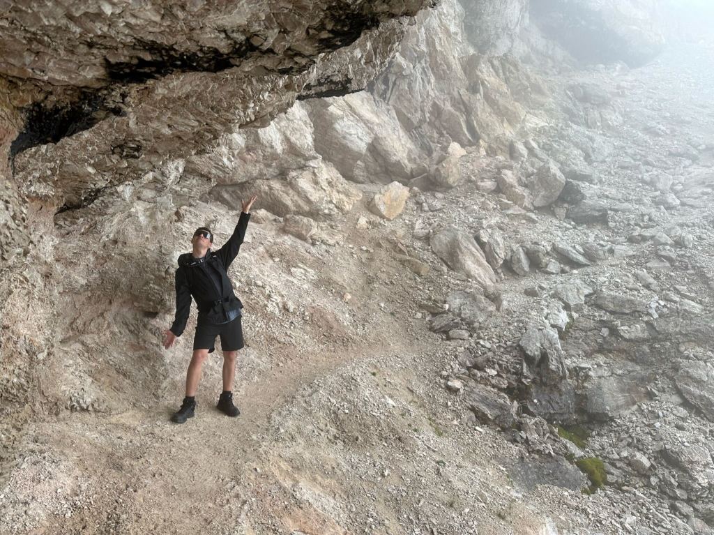
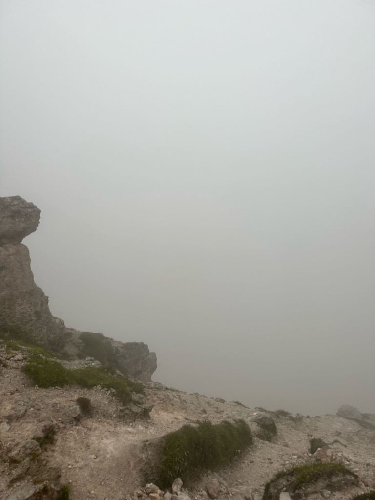
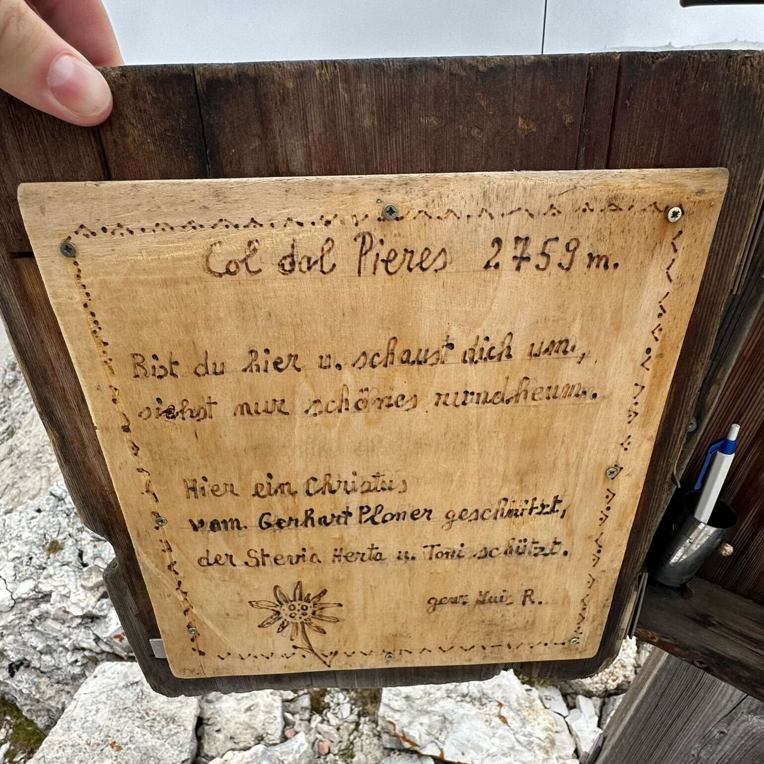
Once we reached Col dala Pieres at an altitude of 2,759m, the sky cleared up and offered us good views for about 10 minutes before we continued on.
For the next hour or so, the path was very steep and challenging, with some parts secured with cables. However, it got tricky when it started to rain and thunder, as everything became instantly slippery. Luckily, there was no lightning in the end, but that’s probably all I could think about during the hour it rained (mainly because there was a big thunder and lightning storm a couple of nights before).
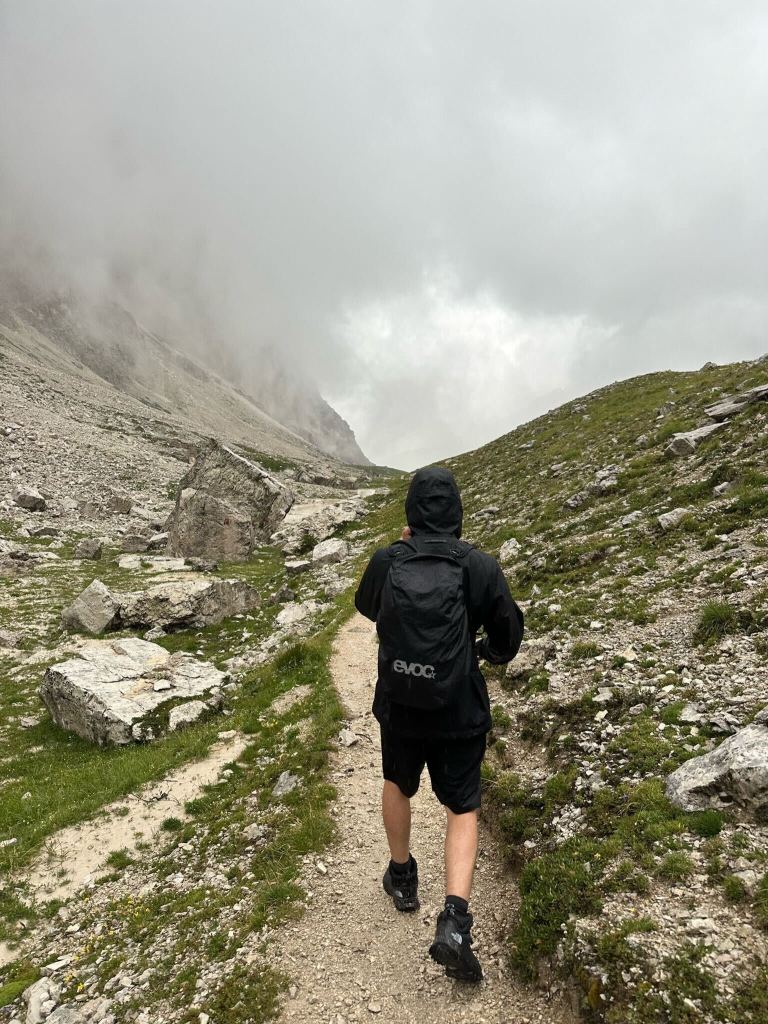
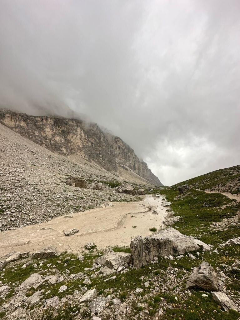
Funnily enough, it was a very quiet hike – not because we were alone, but because neither of us spoke much during this part. I was quiet because I knew panicking wouldn’t help, and Ali was quiet because he was worried I was panicking.
Although it felt never-ending, the rain eventually stopped and some of the clouds cleared, allowing us to admire the Odle (Geisler) peaks before heading back to the Col Raiser cable car station and then to the hotel.
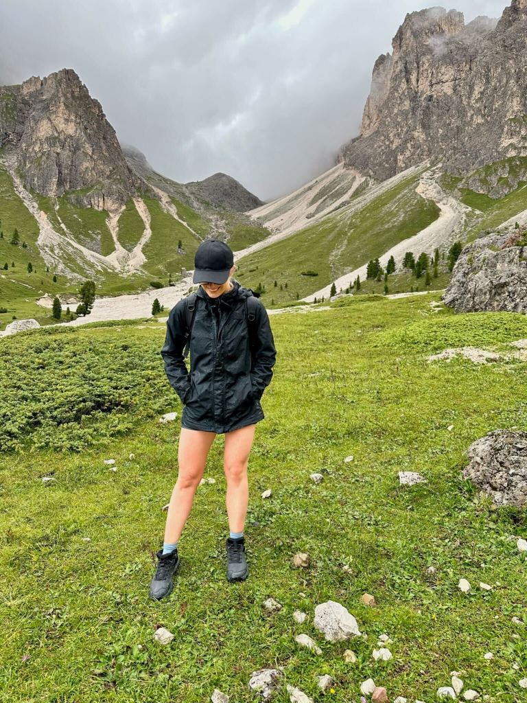
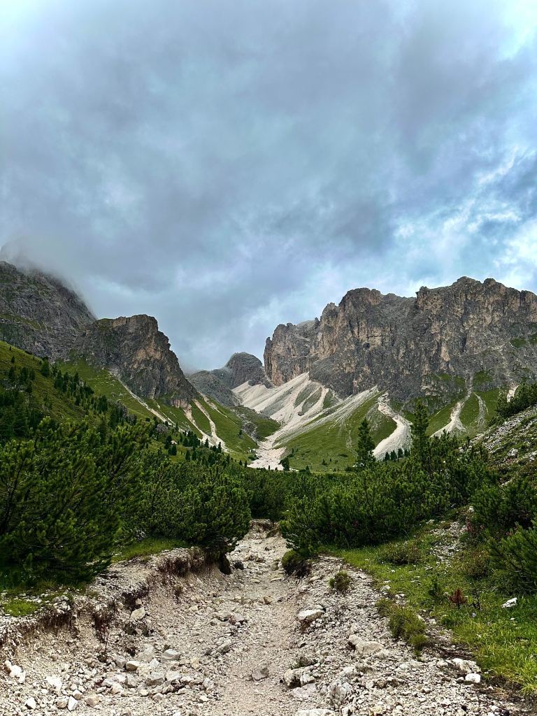
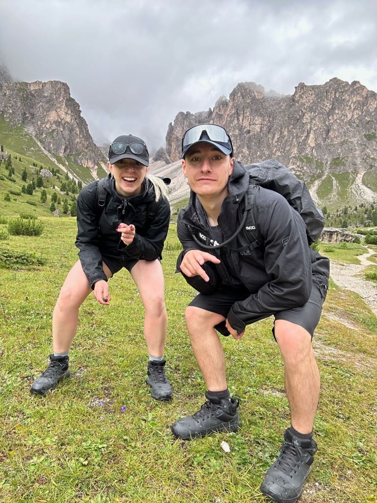
My Apple Watch failed to track the entire hike as it randomly stopped recording, but we estimated that we hiked around 15 km, and with all our stops, it took us about 6 hours to complete.
Conclusion
Overall, it was a beautiful hike with amazing views. If you decide to do it, be prepared for rocky, scree-covered, and steep paths. Appropriate gear is a must, and it’s definitely not a beginner hike. Always equip yourself with the right navigation tools and maps of your choice.


Leave a Reply